NASA satellites image Fort McMurray fires day and night

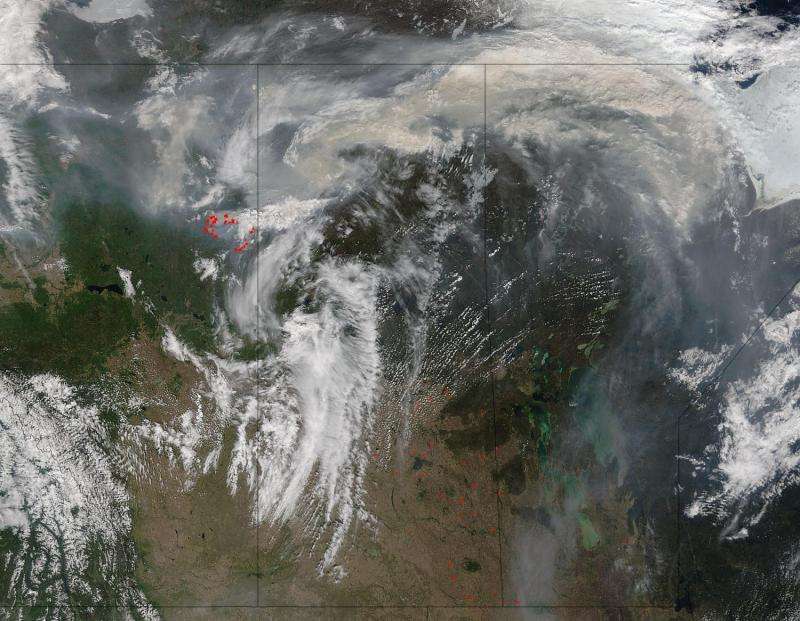
The grayish brown swirl that is combining with the clouds billowing over Alberta and Saskatchewan, Canada is smoke that has risen from the Fort McMurray fire complex. This image taken by the Terra satellite's Moderate Resolution Imaging Spectroradiometer (MODIS) on May 17, 2016. Actively burning areas, detected by MODIS's thermal bands, are outlined in red.
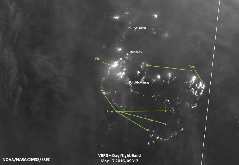
The Fort McMurray wildfire has destroyed one of the oilsands camps north of the city and is roaring eastward toward others in its path. This image from the Suomi NPP satellite taken on May 17, 2016 shows the fires heading in that direction. The leading eastern edge of the Alberta fires was expected to reach the Saskatchewan border by the end of Tuesday.

Provided by NASA


