New West Coast mission investigates ocean acidification threat
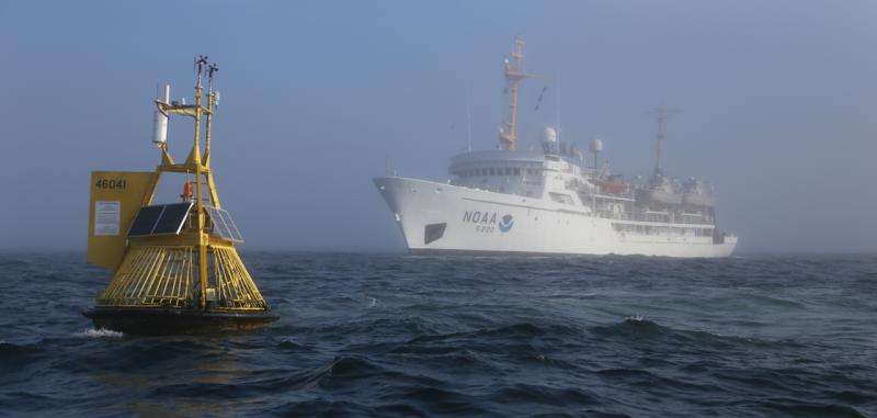
Tomorrow, NOAA scientists will steam out of San Diego harbor to lead the most extensive effort to understand changing ocean chemistry on the West Coast and its impact on economically and culturally important fish and shellfish.
, a global process in which the ocean absorbs carbon dioxide from the atmosphere, is occurring faster than at any time in the past 50 million years. The global rise in ocean acidity, fueled by human-created greenhouse gases, is already affecting West Coast oyster hatcheries and the ability of 鈥攁n important food for salmon and herring鈥攖o build and maintain their shells.
"The acidity of West Coast water is anticipated to continue to accelerate in lockstep with rising atmospheric carbon dioxide emissions," said Richard Feely, one of the lead scientists from NOAA's Pacific Marine Environmental Lab.
During the monthlong cruise aboard NOAA Ship Ronald H. Brown, some 36 scientists from the United States, Mexico, Canada and Europe will collect ocean data to measure acidity, temperature, oxygen and chlorophyll from 16 locations stretching from Mexico to Canada. They will also deploy tow nets to sample sea snails and other ocean plants and animals to analyze how they are being affected by acidifying waters.

Scientists from NOAA's Northwest Fisheries Science Center and the Romberg Tiburon Center at San Francisco State University will study how ocean acidification contributes to harmful algal blooms, such as the expansive that shut down the West Coast's lucrative razor clam, Dungeness crab and rock crab fisheries. Some of the other ocean factors scientists will measure include changes in water temperature, salinity and nutrients.
NOAA's Office of National Marine Sanctuaries and the Department of the Interior's National Park Service will also collect water samples from deep ocean areas and nearshore coastal waters to compare acidity levels and effects in the two environments.
-
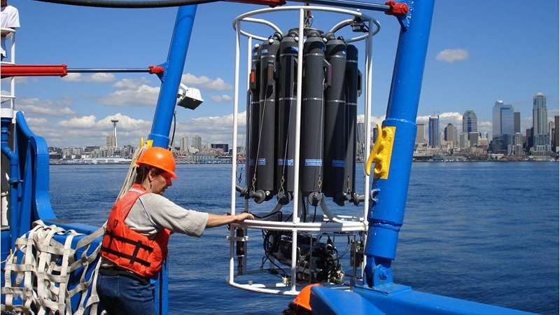
University of Washington oceanographer Jan Newton uses an oceanography instrument to measure conductivity, temperature and depth in Puget Sound. Credit: University of Washington -
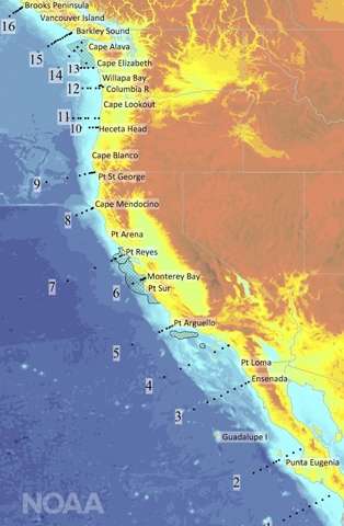
NOAA鈥檚 West Coast cruise will measure ocean acidification from Mexico to Canada. The map shows the 16 locations where ocean data will be systematically collected. Credit: NOAA
More information: Learn more about a new report and action plan to address ocean acidification and hypoxia on the West Coast: %E2%80%98double-whammy%E2%80%99-threat-ocean-health
West Coast OA Cruise blog:
Provided by NOAA Headquarters


