How are scientists tracking Cyclone Alfred?

Tropical Cyclone Alfred is now expected to make landfall early on Saturday morning—later than initial estimates that suggested it would strike southeast Queensland and northern New South Wales on Friday.
So, how do scientists track cyclones and make predictions about when and where they will hit?
I'm a geospatial analyst who uses satellites and other remote-sensing technology for natural resources management. I study data about storms, wildfires and vegetation regrowth around the world.
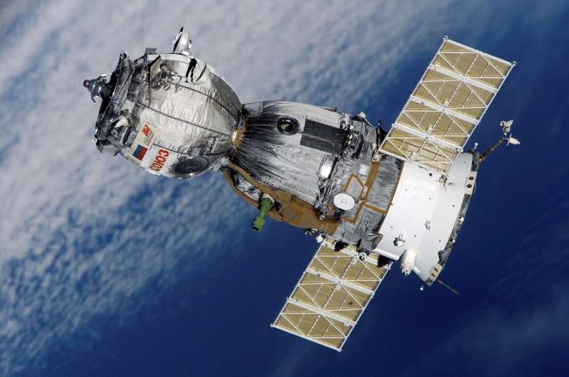
Remote-sensing satellites travel through space collecting data about Earth's surface and atmosphere.
When it comes to cyclones, information these satellites collect about clouds, temperatures, wind speeds and other variables is crucial. It helps scientists make accurate weather predictions—enabling communities to prepare and protect themselves.
Geostationary satellites
Remote sensing refers to .
Remote-sensing satellites move with the Earth. They observe the same hemisphere constantly and send real-time images back to scientists on the ground. The main ones we use in Australia are called Himawari-8 and -9, and they were launched by the Japan Meteorological Agency.
As by the ABC, Himawari-9 captured images showing how Cyclone Alfred traveled down the coast of Queensland earlier this week and then headed toward Brisbane.
Geostationary remote sensing satellites are excellent at :
- the centers of tropical cyclones over the ocean
- developing thunderstorms
- volcanic material in the atmosphere and
- how clouds are moving.
Himawari collects images and information from the visible and infrared spectrum. This can give us cloud temperature, which can provide more precise information about where the eye of a cyclone is (the eye tends to have a higher temperature).
Polar-orbiting satellites
Polar-orbiting satellites .
They collect information at various intervals and send it back to Earth. Well-known polar orbiting satellites include (run by the US Geological Survey), and the National Oceanic and Atmospheric Administration (NOAA) .
The polar-orbiting satellites give us clear images but not very often. They are just snapshots. They are more useful for providing post-cyclone damage assessments than they are for predicting the path of cyclones.
Valuable images, and data in the visible, infrared, and microwave range
Both geostationary and polar orbiting satellites collect data in the visible and infrared regions. There are polar satellites collecting data in the microwave range.
This means we can look at Earth through the cloud, get cloud temperature information and wind direction.
In addition to these satellites, the Bureau of Meteorology has their own weather watch radar sensors on the ground. These ground-based radars are set up at various locations and can detect moisture very easily, which helps us work out how moisture is moving into and through clouds.
Cyclone Alfred is currently shaping up to be a category two cyclone. This means once it makes landfall, it would have an average wind speed of between 89 and 117 kilometers an hour, and gusts between 125 and 164 kilometers an hour.
Wind speed is predicted using complex algorithms.
Why do predictions sometimes change?
Meteorology is a very complex area of science and predictions are based on many, many different data points.
Sometimes a cyclone's path will deviate from initial projections, but this is very normal. It's really hard to predict the future track of a cyclone!
This is particularly true when cyclones form over the Coral Sea, as in the case of Alfred. There, cyclones' paths are in the world.
Sometimes unexpected factors may arise. For example, a recently arrived low pressure system in the west is currently slowing down the arrival of Cyclone Alfred.
Despite cyclone predictions being difficult, the is the most reliable and up-to-date source of information on Cyclone Alfred.
Provided by The Conversation
This article is republished from under a Creative Commons license. Read the .![]()


