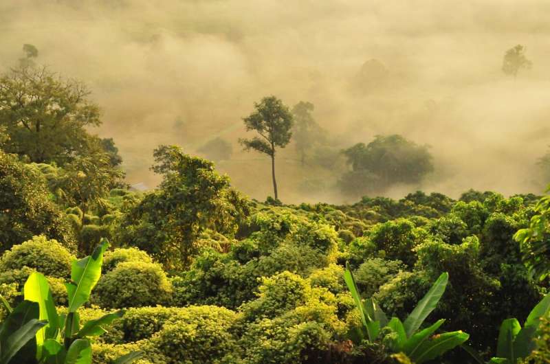
Satellite image analysis delivers new insight into the functional diversity of tropical forests

Satellite images from space are allowing scientists to delve deeper into the individual functions of different tropical forest canopies with new and surprising results.
Understanding tree traits and functional diversity in the tropics is crucial for biodiversity, ecosystem modeling, and conservation. Now, for the first time, thanks to satellite data from the Sentinel-2 satellites of the European Space Agency (ESA), scientists can show the great functional diversity of tropical forests as never seen before.
In a study led by the Environmental Change Institute at the University of Oxford, and involving over 100 scientists from across the world, researchers used data from over 1,800 vegetation plots, along with satellite, terrain, climate, and soil data, to predict variations in 13 tree traits and map the functional diversity of tropical forests.
They found that forests in the Americas, Africa, and Asia each use different parts of the available trait space. American tropical forests show 40% more functional richness than African and Asian forests, while African forests have the highest functional divergence—32% more than American forests and 7% more than Asian ones.
The study, "Canopy functional trait variation across Earth's tropical forests," in Nature, also identifies regions needing more data to improve accuracy. This research offers a global view of how and why tropical forest canopy traits vary across regions.
Dr. Jesús Aguirre-Gutiérrez, Associate Professor, said, "Using the state-of-the-art satellite data we can get high-resolution information and see what is happening in the forest canopies. We can use this to quantify the differences across continents."
In their study, the team highlights the importance of tropical forest canopies in regulating carbon, water, and energy in the atmosphere. Tropical forests are the most biodiverse ecosystems on Earth, making up a large part of global diversity, including two-thirds of the 73,000 tree species. Over a billion people depend on them for their livelihoods.
However, the researchers say we still have limited knowledge of how traits that affect forest functions (like shape, growth patterns, and responses to the environment) vary across large areas, especially in tropical forests. While factors like water, temperature, and soil influence plant traits, we don't fully understand how they affect forest function.
Predicting plant trait distributions over large areas usually focuses on a few traits with more available data, such as leaf nitrogen, phosphorus, and specific leaf area. Some progress has been made by combining plant type data with statistical models and satellite remote sensing, but most models still rely on predefined plant types to estimate trait distributions and use low-resolution satellite data.
Ground observations in tropical forests are often limited, showing the need for better tools to track plant traits over large areas with high resolution. There is also a need to compare predictions made by different methods.
While plant trait databases help model trait distributions, the researchers say we still lack comprehensive data on traits for most tree species in tropical areas like the Amazon, which has about 15,000 species. Understanding trait variation across continents is important for predicting how ecosystems will respond to changes like climate change and land use.
Previous studies have shown that plant traits vary across ecosystems and communities, reflecting how plant strategies connect to environmental conditions, allowing species to thrive in specific niches.
While dynamic global vegetation models (DGVMs) and species distribution models (SDMs) help predict climate change effects, DGVMs often use broad plant categories, and SDMs may ignore trait diversity. Including specific plant traits and functional diversity in these models can improve predictions of carbon cycling, vegetation patterns, and ecosystem resilience, leading to a better understanding of how ecosystems respond to global change.
The team of 119 scientists included 10 researchers from the ECI.
Dr. Aguirre-Gutiérrez said, "It is thanks to the availability of field plot and trait data from local collaborators including the Mexican MONAFOR network, the Oxford Global Ecosystems Monitoring network (GEM), RAINFOR and the ForestPlots meta network, and also satellite data from the ESA that they have managed to compare the canopy functions in such detail."
He continued, "Artificial intelligence is rapidly improving our ability to map plant traits using deep-learning models applied to field data and photos. These models, especially convolutional neural networks, can analyze large amounts of remote-sensing data and have been combined with spectral data to map plant traits.
"New satellites with hyperspectral sensors and high spatial resolution, along with growing tree census data, are expanding possibilities for using AI across time and space."
But the team warns that AI should support—not replace—traditional ecological methods like field sampling and expert tree identification to ensure accurate biodiversity assessments.
Dr. Aguirre-Gutiérrez added, "There's a need for tools that can predict biodiversity distributions and its changes over time, and this approach is a step forward. In the future, satellite data could help track plant diversity annually, but this requires extensive field data, advanced models, more computing power, and strong collaborations among researchers and institutions."
The study maps how the types of trees vary across tropical moist and dry forests, which host most of Earth's tree species. The findings show that tree traits are strongly shaped by long-term climate, helping predict how climate change might affect these forests. The maps the researchers make available highlight key areas for future research, especially in under-studied regions like Africa and Asia.
As the accuracy of predictions depends on data quality and coverage, they will improve as more data becomes available. These maps offer a significant step forward in understanding how tropical forests function globally.
More information: Jesús Aguirre-Gutiérrez, Canopy functional trait variation across Earth's tropical forests, Nature (2025). .
Journal information: Nature
Provided by University of Oxford


